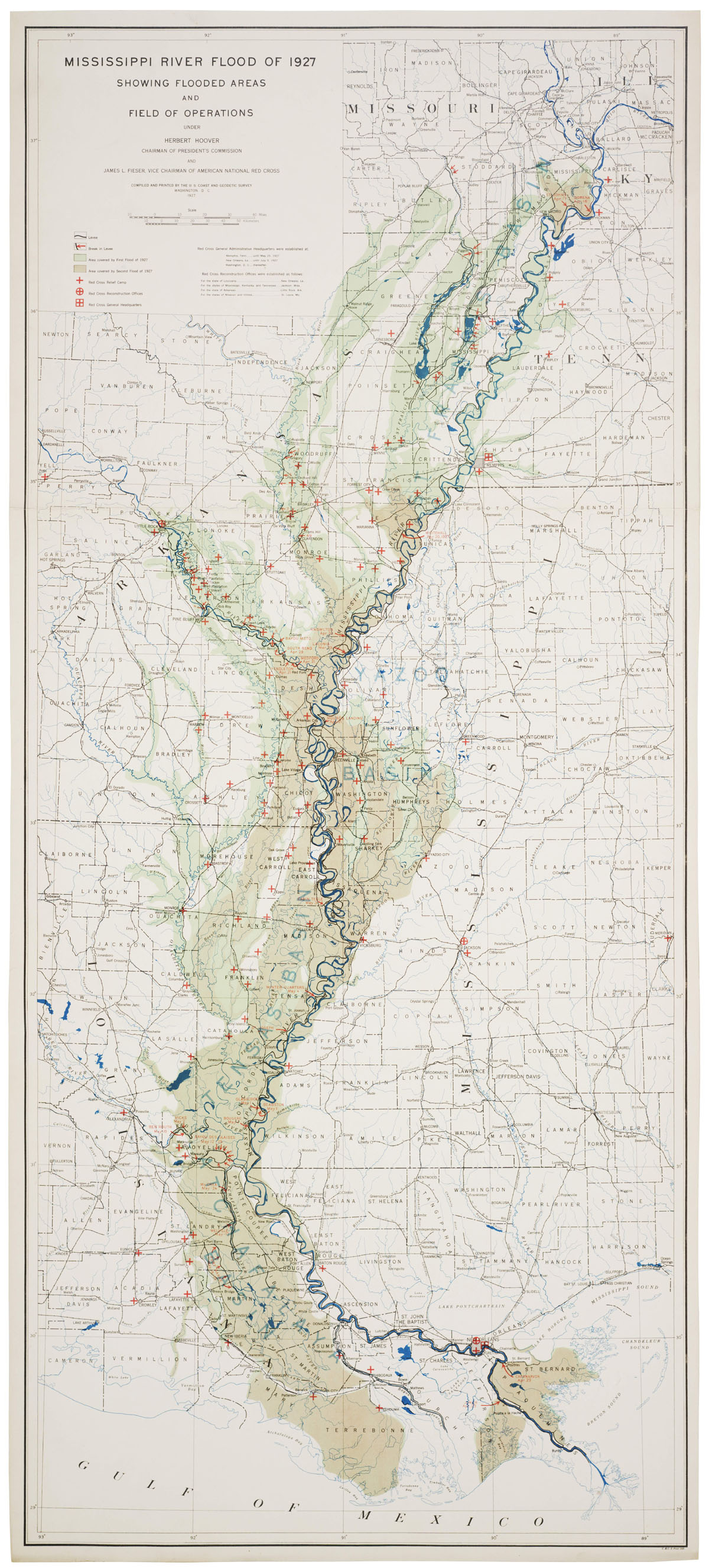
 Found this impressive map of the 1927 Mississippi River flood online tonight over at the NASA blog, Elegant Figures. The map is available from the National Archives. For those of you from Lafayette, be sure to go to the high res version here and check out how close it was to Lafayette. Interesting.
via @gravelbar
4 comments:
awesome map! what is interesting is how many places where they indicate breaks in the levee. It looks like several key spillway levees failed and that is why the vermillion flooded through Lafayette. Hopefully we are not looking at the same scenario again...
Indeed - that would be most unfortunate. Good eye on that legend there retired. That plus your running regimen leads me to believe you may be coming out of "retirement."
There will be a temporary vacant spot on the roster after another coed championship is realized tomorrow. You're more than welcome to keep it warm for me retired.
You guys are killing me! Good to see you last night MD
Post a Comment